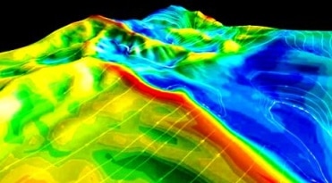
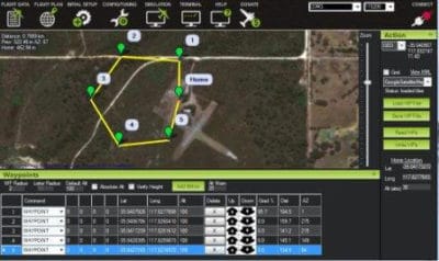
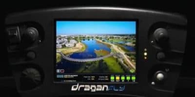
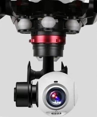
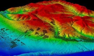
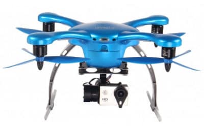
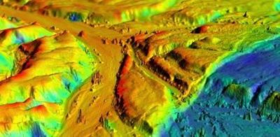
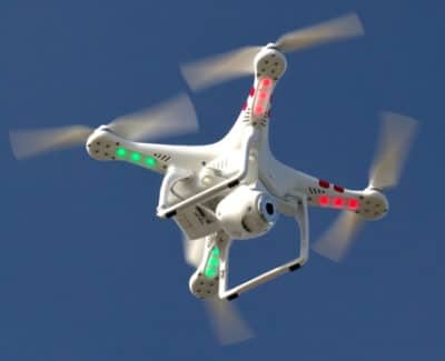
UAV lidar and photogrammetry imaging applications are increasing rapidly. This is not surprising as using GPS enabled UAVs for aerial surveying is very cost effective in comparison to hiring an aircraft with photogrammetry equipment.
Because UAVs are relatively inexpensive, organisations will have their own UAV fleet, allowing for rapid surveys over large land areas and infrastructure projects where required.
With GPS equipped drones, digital cameras and powerful computers, surveys have an accuracy right down to 1 centimeter.
This post takes an overall look at this drone mapping technology. We also take a quick view at the sectors benefiting from using UAVs for photogrammetry and lidar mapping. We also look at some of the best mapping drones on the market along with the compatible software.
Another closely related sector is using LiDAR sensors mounted onto drones. It’s another growing sector and you can read further regarding drone LiDAR use here.

